
Satisfy Your Geographic Curiosity with A-to-Z Maps Online
Whether you're a student, teacher, researcher, or a budding cartophile, you can find any map you need and hundreds of other geographic reference sources with A-to-Z Maps Online provided by the Chelmsford Public Library.
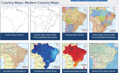
Find 1,600 different maps of every imaginable type covering 174 countries. Individual maps collect different types of data for each country. See the basic outline to recognize the country by shape. See the individual states and provinces within the country. See values such as precipitation, average temperatures, population density, and natural earth maps including major waterways, mountain systems, and elevation.
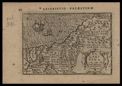
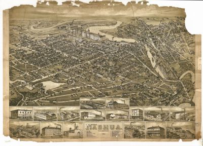
Finding historic maps spanning the larger history of cartography, and see how the character and representation of our surroundings has evolved from Ptolemaic drawings to nostalgic birds-eye views to the precision of the modern day.
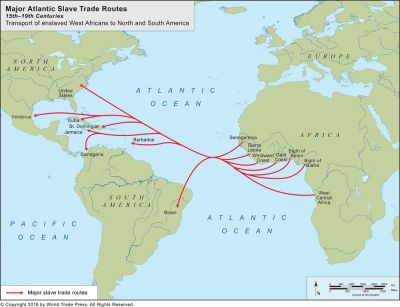
Trace the paths of the great and sometimes terrible journeys that enabled discovery, helped to define the boundaries of the world as we know it, and play a role in who would come to hold the power.
A-to-Z Maps includes a bounty of information about geography for all ages. What all do we need to know about the corners of our world? What's it all for? Understand the six essential elements of geography related to location information, physical characteristics, environmental aspects, and how we use geography.
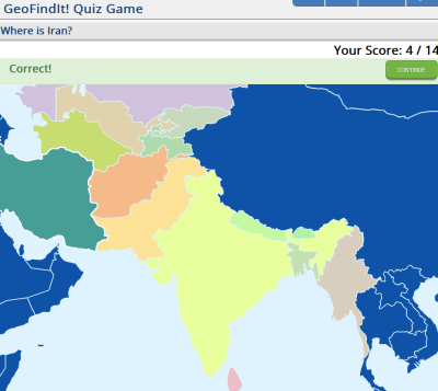
You can also use the GeoFindIt! quiz game to test your knowledge and memorize countries of each continent and region. You can also brush up on U.S. states and the provinces of Canada, Australia, and China.
Maybe the best part: all of the maps and other materials available in A-to-Z Maps are royalty-free, meaning you can use them and reproduce them in research, reports, or presentations without any copyright issues.
As with any of our resources, it's always better to try it out than to read what the staff (we) have to say, no matter how enthusiastic we are. Check out A-to-Z Maps and brush up on your geography knowledge today!